
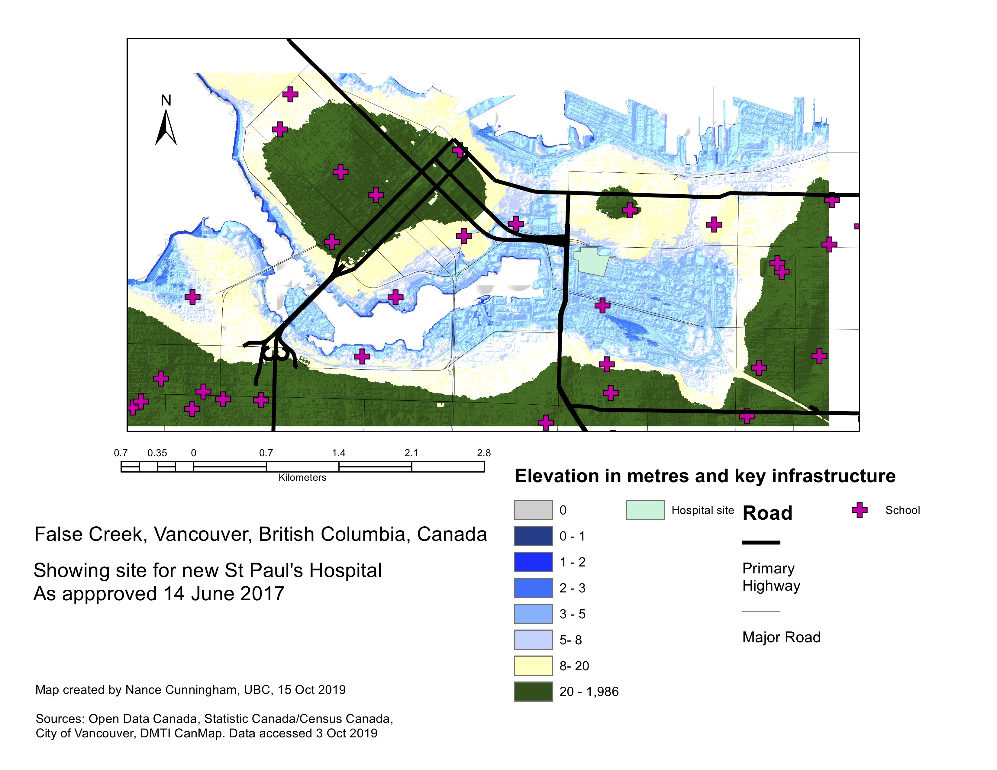
For this exercise, we looked at a high-resolution digital elevation model (DEM) of the False Creek neighbourhood. We looked at what infrastructure was in low-lying areas, and found that a number of schools were located in areas that are below five metres elevation. I also emphasised major roads in the area that could be flooded in a storm surge.
In this project I learned to identify points inside a polygon of interest, and to work with a high-resolution (1m2) DEM.