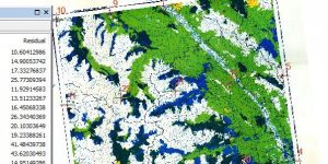
Forestry maps from the 19th century on are being georeferenced and used to analyise changes in the quality and age of forest cover by Ira Sutherland, a PhD student in UBC Forestry. I joined in with a group of volunteer georeferencers to pin a one part of a 1958 map to an outline of BC so it can be used with GIS.
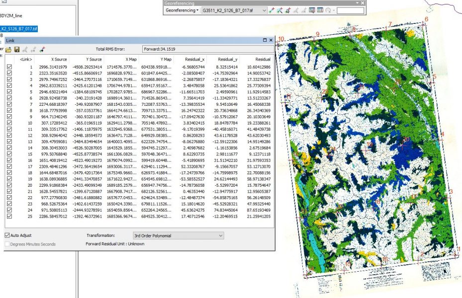
Georeferencing